Stromboli – The ancient lighthouse of the Mediterranean
Stromboli is the stuff of legends. The volcano island is the ancient lighthouse of the Mediterranean – it has been erupting its mesmerizing glow for over 2000 years. In such a consistent way that it actually became the geological ‘type locality’ for it. A strombolian eruption is the classification for its typical behaviour of gentle fountain eruptions.
Obscured by clouds
When I saw the triangular shape of Stromboli looming on the horizon, it was pulling me like a force from the centre of the earth. I bumbled up its slopes on a perfect sunny day, excited to finally see the strombolian action from up close. But when I reached the top at dusk, a relentless foggy cloud had formed around it, and the spectacular fire-breathing craters were obscured from view.
Only distant rumbling in the background indicated that they were there…

View down the slopes of Stromboli volcano, with worrying amounts of fog rolling in.

Frustration! Fog-filled craters on the top…

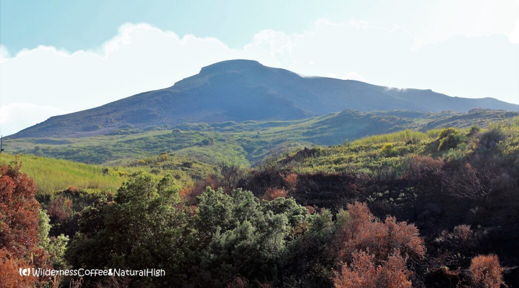
Lava shapes on the lower path of Stromboli.
Stromboli volcano eruptions
The next evening, I was proverbially screaming in frustration, as I watched the eruptions on the top from a distance at the observatory on the lower flank of Stromboli. In all its cloud-free glory…
I would have climbed it again without hesitation if I’d known there was a clear view that night.

Strombolian action!

The foggy upper slopes of Stromboli…
Stromboli hike summary
Distance: 8 kilometres return from Mulattiera Salvatore Di Losa.
Time: About 5 to 6 hours.
Summit: 924 metres above sea level.
Difficulty: Challenging. Very steep with sliding gravel slopes near the top.
Note: A guided hike is required to go to the top of Stromboli.
@ Read more about the Stromboli volcano hike in my article about the Aeolian Islands.

View to Stromboli village and harbour from the path up to the volcano.
How to get to Stromboli
Stromboli is one of the Aeolian Islands, a volcanic archipelago just north of Sicily. Milazzo on the north-eastern tip of Sicily is the departure port for several ferries to Stromboli (as well as the other Aeolian islands of Vulcano, Lipari, Panarea and Salina). The ferry crossing takes about 2,5 to 3 hours, depending on the route and type of boat.
Another option is the overnight ferry from Naples direct to Stromboli, taking 10 to 12 hours.
Stromboli map
This handy interactive map shows the walking route from the edge of town to the north side of the Stromboli volcano. You can also zoom in for more details of the track, and click on the icons for pictures of stunning views along the way.
@ And somewhere, nearly 3600 kilometres away, you can find the entrance to the underground passage to Stromboli… 😉
Signpost to the Centre of the Earth.

Remote Islands – Stromboli, Italy
This article was originally published as a NaturePic Challenge: A series with pictures of epic nature and places that trigger a natural high.
@ If you have any questions, let me know in the comment section below. I’d love to hear from you! Your questions, comments and suggestions are also helpful for other readers and travellers. Thank you for sharing.
Follow Wilderness Coffee & Natural High on Facebook and Instagram for more stories.

Moon over Stromboli, its craters happily steaming away in a cloudless sky.
Beautiful! But frustrating…!
More to explore & discover
Island hopping on the Aeolian Islands – A volcanic archipelago
The walking track to Klif – The beacon rock
Ode to the mountains – The magic of Mount Taranaki
Mount Etna – Vigorously steaming from all its craters
Fimmvörðuháls – The fiery pass across Eyjafjallajökull
© All photos and content on this website are my own, and subject to copyright (unless credited otherwise). Please contact me if you want to use a photo or quote a text from one of my articles. You’re welcome to share a link to my blog articles and photos on social media, with a tag and mention to Wilderness Coffee & Natural High.
This article was first published on 8 February 2017.